Are you trying to find out who owns a piece of land? It can feel confusing and time-consuming, but there’s a smarter way to get the answers you need—using GIS maps.
These powerful tools let you explore land details quickly and clearly, right from your computer or phone. Imagine saving hours of searching through paperwork and still getting accurate information. If you want to know how to use GIS maps to discover land ownership, keep reading.
This guide will show you simple steps to unlock valuable data and make your search easier than ever.
Basics Of Gis Maps
GIS maps help us understand land and its ownership clearly. They show data about land in an easy way. Learning the basics of GIS maps is the first step to find land ownership. These maps combine different types of information to give a full picture of a place.
What Are Gis Maps
GIS stands for Geographic Information System. These maps store, analyze, and display spatial data. They show where things are on Earth. GIS maps link data to real-world locations. This makes it easy to see land boundaries and ownership details.
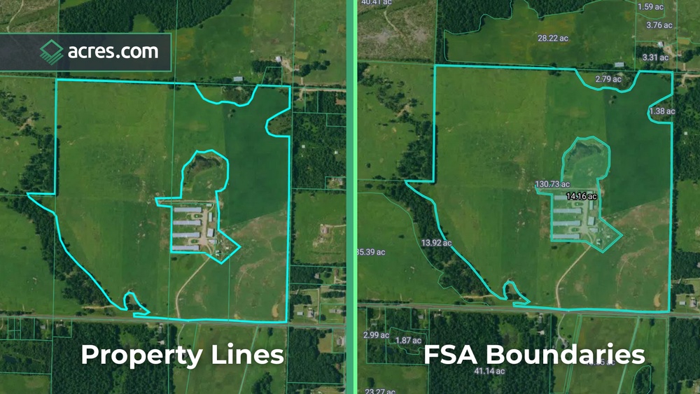
Types Of Gis Data
GIS uses two main types of data: vector and raster. Vector data shows points, lines, and shapes. These represent land plots, roads, or buildings. Raster data is made of pixels. It shows images like satellite photos or aerial views.
Both types help understand land features and ownership. Vector data is best for borders and land parcels. Raster data gives background images to see the land clearly.
Key Gis Tools For Land Ownership
GIS tools help find and analyze land ownership. Tools like parcel mapping identify land boundaries. Overlay tools combine different maps to check ownership records. Measurement tools calculate land area and distance.
These tools make land ownership data easy to view and understand. They help check who owns land and its exact size. Using these tools saves time and reduces errors.

Credit: www.lightboxre.com
Preparing For Your Search
Preparing for your search is a key step before using GIS maps to find land ownership. A clear plan helps you work faster and avoid confusion. Gathering important details and setting up your tools properly saves time and effort.
Gathering Property Details
Start by collecting any information about the property. This includes the address, parcel number, or nearby landmarks. Having these details ready makes it easier to search on GIS maps. Even rough information can help narrow down the area quickly.
Note down any official documents or old maps you might have. These can provide clues about boundaries and ownership. The more information you have, the better your search results will be.
Identifying Local Gis Resources
Every area has different GIS resources. Find out which local government websites offer GIS maps. County or city websites often provide free access to these tools.
Check if the site has a dedicated land records or property viewer section. Some places also offer downloadable maps or data. Knowing where to look helps you avoid random searches and saves time.
Setting Up Gis Software
Choose the right GIS software or online tool based on your needs. Some GIS platforms work directly in your browser without installation.
For more detailed work, download user-friendly GIS software. Follow setup instructions carefully to avoid technical issues. Make sure your computer meets the software requirements.
Practice basic functions like zooming and searching before starting your actual land search. This makes your workflow smoother and more effective.
Step-by-step Land Ownership Search
Finding land ownership details using GIS maps is easier than many think. This step-by-step guide helps you search land records clearly. Each step builds on the last. Follow along to discover how to use GIS tools for land ownership.
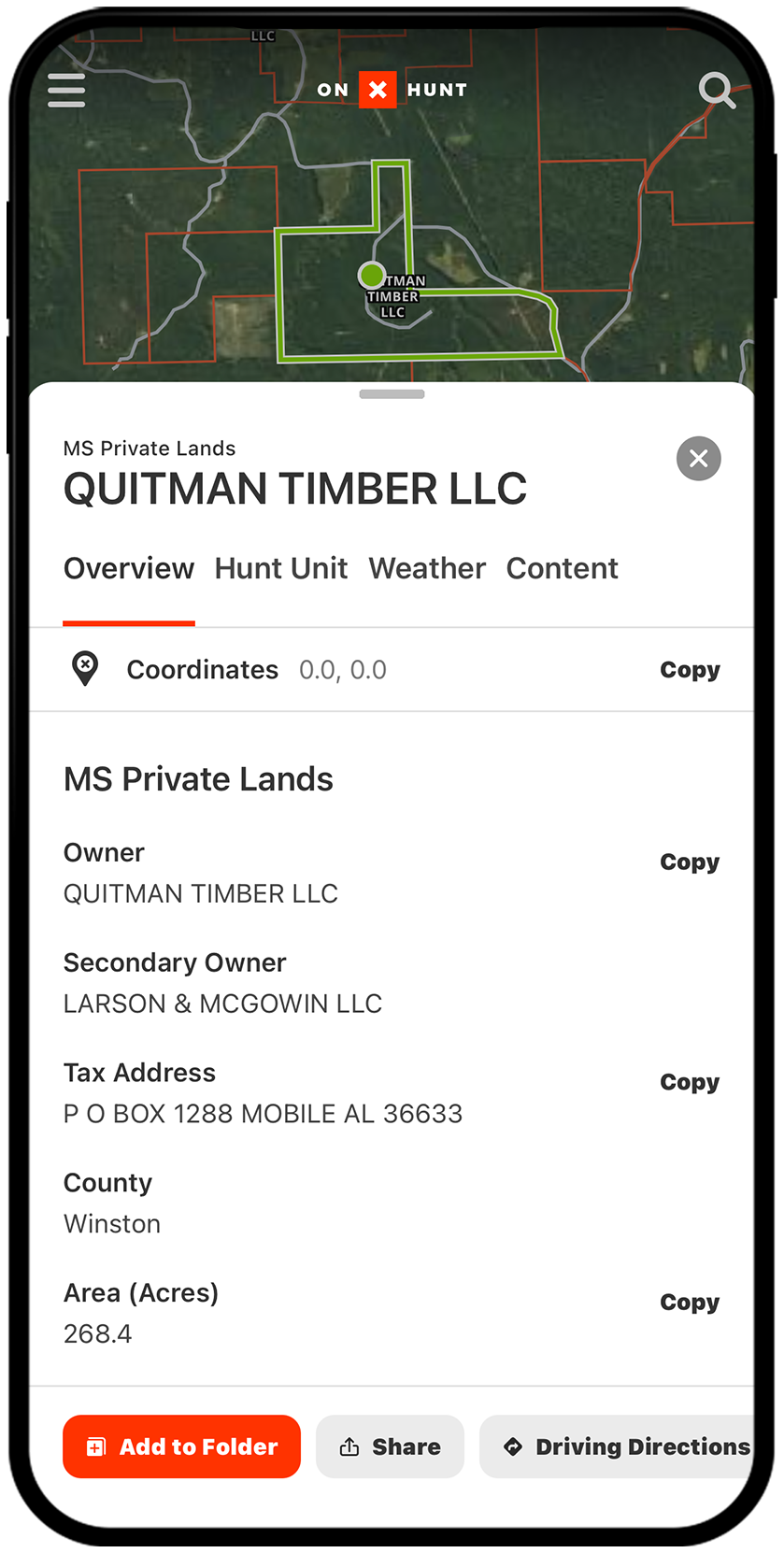
Accessing Public Land Records
Start by visiting your local government’s GIS website. Many counties offer free access to public land records online. Search by address, parcel number, or owner name. These records show legal descriptions and ownership history. Some sites require simple registration before use.
Using Parcel Layers
Parcel layers show individual land units on the map. Turn on the parcel layer to view property boundaries. Each parcel usually links to detailed ownership information. Zoom in to see clear borders and neighboring properties. Parcel layers help you locate the exact land piece quickly.
Interpreting Ownership Data
Ownership data includes the owner’s name and property details. Look for fields like deed type and transaction date. Check for any notes on liens or restrictions. Understanding these details ensures you know who owns the land. Use this info for legal, buying, or planning purposes.
Credit: www.onxmaps.com
Advanced Gis Techniques
Advanced GIS techniques help find detailed land ownership information quickly. These methods use more than just basic maps. They combine various data sources to give a clearer picture. Understanding these techniques can improve your search results and accuracy.
Overlaying Multiple Data Layers
This technique combines different map layers into one view. For example, you can overlay property lines, zoning maps, and natural features. This helps to see how land use and ownership overlap. It reveals relationships not visible on single maps.
Overlaying layers allows you to compare data easily. You spot conflicts or confirm boundaries with precision. It also helps in planning land development or resolving disputes.
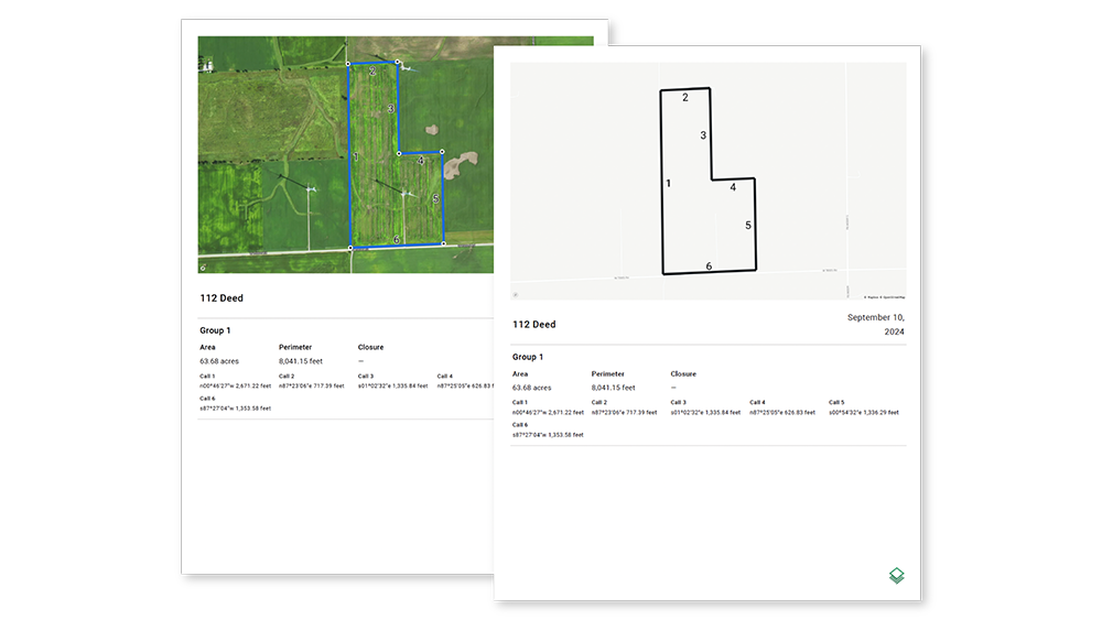
Using Gps For Precise Location
GPS technology pinpoints exact land locations on GIS maps. It records latitude and longitude coordinates for accuracy. This data links physical land to digital maps perfectly.
Using GPS reduces errors in identifying property boundaries. It assists surveyors and landowners in marking exact borders. This method is essential for legal and construction purposes.
Analyzing Historical Ownership Changes
GIS tools can track land ownership over time. Historical maps show how properties have changed hands. This helps understand land use trends and legal history.
By comparing old and new maps, you see ownership shifts clearly. It supports research for land disputes or heritage studies. This analysis adds depth to land ownership records.
Common Challenges And Solutions
Using GIS maps to find land ownership can be tricky. Many users face common problems that slow down their search. Knowing these challenges helps to find better solutions. The right approach makes the process smoother and more accurate.
Dealing With Incomplete Data
GIS maps often lack full information. Some land parcels might miss ownership details or boundary lines. This happens due to outdated records or missing updates. To fix this, cross-check with local land offices or government websites. Combining different data sources fills gaps and improves results.
Resolving Conflicting Records
Sometimes, records show different owners for the same land. This causes confusion and delays. Conflicts arise from overlapping claims or errors in data entry. The best way is to verify with official land registries. Legal documents or surveys can confirm true ownership and clear up disputes.
Ensuring Data Accuracy
Accurate data is key to trust GIS maps. Errors in coordinates or names can mislead users. Regular updates and quality checks help keep data reliable. Use trusted sources and verified maps to avoid mistakes. Always double-check information before making decisions based on GIS data.
Legal And Privacy Considerations
Using GIS maps to find land ownership offers many benefits. It provides detailed data and easy access to property information. Yet, it also raises legal and privacy issues. Understanding these concerns helps users act within the law and respect others’ rights.
Access Restrictions
Not all GIS data is open to the public. Some maps require special permission or a subscription. Certain land details may be restricted due to security or privacy laws. Always check the source and rules before accessing GIS maps.
Respecting Property Rights
Landowners have rights over their property information. Sharing or using this data without consent can cause legal problems. Avoid using GIS data for trespassing or illegal purposes. Respect boundaries and ownership details shown on the maps.
Using Data Responsibly
Use GIS data ethically and legally. Do not share sensitive information without permission. Protect personal details and respect privacy laws. Responsible use builds trust and avoids penalties.
Tips For Efficient Land Ownership Research
Researching land ownership can be complex without the right approach. Using GIS maps simplifies this process but requires some planning. Follow these tips for efficient and clear research. Organize your data well, use trusted online portals, and know when to get expert help. This approach saves time and prevents mistakes.
Organizing Your Findings
Keep all land information in one place. Use folders on your computer or a notebook. Label each file with the land parcel number or location. Note down the date you accessed the data. Clear records help you track changes and avoid confusion later. Regular updates keep your research accurate.
Leveraging Online Gis Portals
Use official GIS portals provided by local governments. These sites offer updated land records and maps. Search by address, parcel number, or owner name. Use filters to narrow down results quickly. Save or print maps for future reference. Avoid unofficial sites to ensure data accuracy.
When To Consult Professionals
Some land ownership issues need expert advice. Contact a surveyor for boundary questions. A real estate lawyer helps with legal disputes. Professionals understand complex records and laws. Hire them if data is unclear or ownership is disputed. Their help can prevent costly errors.
Credit: landvalues.acres.com
Frequently Asked Questions
How Can Gis Maps Help Find Land Ownership?
GIS maps provide detailed land parcel data linked to ownership records. They visually display property boundaries and owner information. This helps users quickly identify landowners without visiting government offices. GIS maps combine geographic and legal data for accurate land ownership insights.
Where To Access Gis Maps For Land Ownership?
You can access GIS maps on local government websites or land registry portals. Many counties offer free online GIS systems for public use. Some platforms require registration or fees. Using official sources ensures you get reliable and updated land ownership information.
What Information Do Gis Maps Show About Land Ownership?
GIS maps display property boundaries, parcel numbers, owner names, and land use details. They may also include tax data and zoning information. These layers help users understand ownership, property size, and legal restrictions in one place.
Are Gis Maps Reliable For Verifying Land Ownership?
Yes, GIS maps are reliable when sourced from official government databases. They update regularly to reflect changes in ownership and boundaries. However, cross-checking with land registry records is recommended for legal matters.
Conclusion
Finding land ownership with GIS maps becomes clear and simple. These maps show property boundaries and ownership details fast. You can use online tools or local government sites to access data. GIS maps help avoid mistakes when buying or selling land.
They also save time by showing exact land locations. Understanding these maps gives you control over land information. Keep practicing, and you will get better at reading GIS maps. This skill helps in many land-related tasks. Trust the process and use GIS maps confidently.