Have you ever wondered if the county property map you’re relying on truly shows the exact boundaries of your land? Whether you’re buying a new home, planning a fence, or resolving a property dispute, knowing how accurate these maps are can save you time, money, and stress.
You’ll discover the surprising truths about county property maps, what factors affect their accuracy, and how you can make sure your property lines are exactly where you think they are. Keep reading—your property’s value and peace of mind might depend on it.
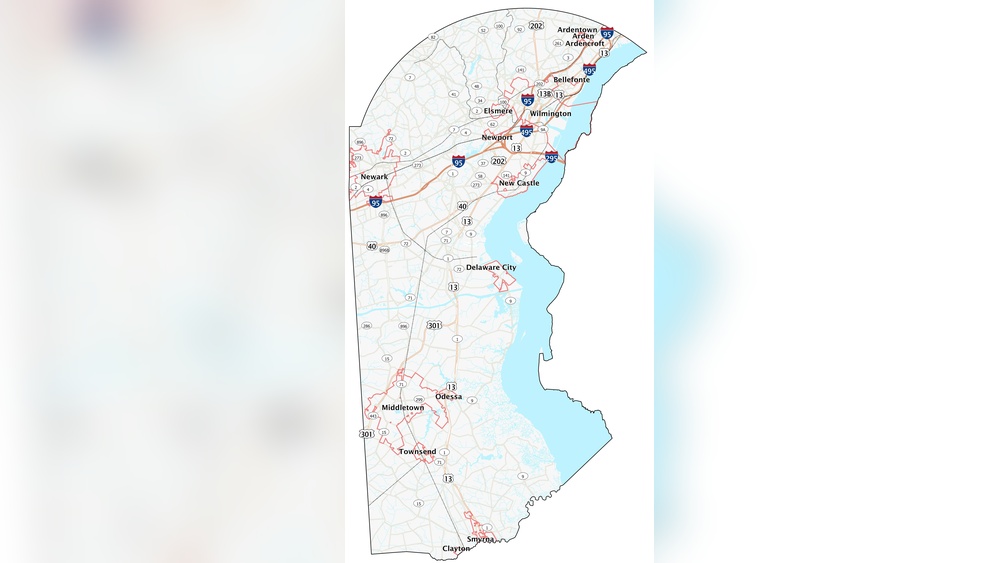
Credit: kingcounty.gov
County Property Maps Basics
County property maps show land boundaries and property lines. They help people understand who owns what land. These maps are used by many groups, like buyers, sellers, and government workers. Knowing the basics about these maps helps you use them well.
These maps are not always perfect. They may have errors or outdated information. Learning about their types, data sources, and common uses gives a clear view of their accuracy and value.
Types Of Property Maps
There are several kinds of property maps. Cadastral maps show property boundaries and ownership. Plat maps display subdivision details and lot sizes. Tax maps help assess property taxes. Each type serves a different purpose and shows unique details.
Sources Of Map Data
Data for county property maps comes from surveys, satellite images, and legal documents. Surveyors measure land on the ground. Satellite images give a bird’s-eye view. Legal records provide ownership and boundary details. Combining these sources improves map accuracy.
Common Uses Of Maps
People use county property maps to buy or sell land. Officials use them for planning and zoning. Lawyers check property lines for disputes. Builders rely on maps for construction projects. These maps guide many important decisions about land.

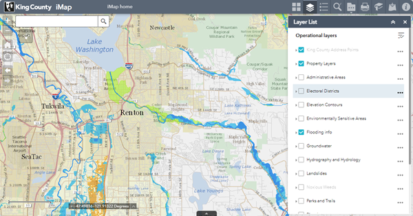
Credit: www.greenridge.com
Factors Influencing Map Accuracy
County property maps help people understand land boundaries and ownership. Their accuracy depends on many factors. Knowing these factors helps users trust and use the maps correctly.
Survey Methods And Technology
Survey methods affect map accuracy greatly. Older surveys used basic tools, which caused errors. Modern technology, like GPS and drones, improves precision. Still, some areas rely on old surveys. This mix can cause differences in map quality.
Data Update Frequency
Maps need regular updates to stay accurate. Property lines change over time due to sales or legal changes. If maps are not updated often, they show outdated information. Some counties update maps yearly. Others may take several years. Frequent updates mean more reliable maps.
Human Error And Limitations
People create and maintain property maps. Mistakes can happen during surveys or data entry. Some errors are small but affect accuracy. Also, natural features like trees or rivers can change, confusing mapmakers. These human and natural limits affect map reliability.
Common Errors In Property Maps
County property maps help to show land boundaries and ownership. These maps guide buyers, sellers, and local officials. Yet, errors on these maps can cause confusion and disputes. Understanding common mistakes helps users check map accuracy and avoid problems.
Boundary Discrepancies
Boundaries on maps may not match actual land lines. Survey errors or old records often cause this. Sometimes, natural changes like river shifts affect boundaries. Discrepancies can lead to property disputes between neighbors. Always verify boundaries with a professional surveyor.
Scale And Measurement Issues
Maps use scales to show land size and distance. Incorrect scales make properties look bigger or smaller than real size. Measurement tools might not be precise. This causes wrong area calculations and misinterpretations. Check the map scale and compare it with real measurements.
Outdated Or Missing Information
Property maps may have old data that no longer applies. New buildings, roads, or land divisions might not be shown. Some maps lack important details like easements or rights of way. Missing information can mislead buyers and planners. Always seek the latest version of the map.
How To Verify Map Accuracy
Verifying the accuracy of county property maps is essential before making decisions. These maps show land boundaries and property details. Mistakes can cause problems like disputes or wrong purchases. It is important to check if the map matches real-world information.
Comparing With Official Records
Start by checking county or municipal records. These records include deeds, plats, and legal descriptions. Compare property lines on the map with these documents. Official records are usually precise and updated regularly. Differences between the map and records could signal errors.
Using Professional Surveys
Professional land surveys provide the most accurate property boundaries. Surveyors use tools like GPS and laser measuring devices. They mark exact lines on the ground and create detailed maps. Hiring a surveyor is a good step for important property decisions. Survey results can confirm or correct county maps.
Online Tools And Resources
Many counties offer online map viewers and databases. These tools let you see property maps digitally and check details. Some sites provide aerial photos and boundary overlays. Use these resources to cross-check map information quickly. They are free or low-cost and easy to access.
Impact Of Inaccurate Maps
Inaccurate county property maps create many problems. These maps guide decisions on land use and ownership. Mistakes can cause confusion and costly errors. Understanding the impact helps property owners and officials make better choices.
Legal Disputes
Wrong boundaries lead to fights between neighbors. People may build on the wrong land. Courts often get involved to settle these issues. Legal battles take time and money. Property owners must prove their claims with clear evidence.
Property Value Implications
Errors in maps affect property prices. Buyers may hesitate if boundaries are unclear. Lenders may refuse loans due to risks. Sellers might get less money for their land. Accurate maps protect the true value of property.
Planning And Development Risks
Developers rely on maps for construction plans. Mistakes can cause building on restricted areas. Local governments may stop projects due to errors. This leads to delays and extra expenses. Proper maps ensure smooth development processes.

Credit: www.greenridge.com
Improving County Property Maps
County property maps are essential tools for landowners, buyers, and local governments. Their accuracy depends on many factors. Improving these maps helps people trust and use them more effectively. Efforts focus on technology, community input, and regular updates.
Advancements In Mapping Technology
New tools like drones and satellites capture land details quickly. Digital mapping software makes it easier to spot errors. GPS technology provides precise location data. These advances help create clearer, more accurate property maps.
Community Reporting And Feedback
Local residents often know their properties best. Allowing them to report mistakes improves map accuracy. Community feedback helps officials fix boundary errors fast. It also builds trust between residents and authorities.
Regular Updates And Maintenance
Property boundaries can change due to sales or development. Frequent map reviews keep information current. Regular maintenance prevents old data from causing confusion. This ensures maps remain useful for legal and planning needs.
Frequently Asked Questions
How Reliable Are County Property Maps For Legal Purposes?
County property maps are generally reliable but not infallible. They serve as preliminary guides, but official surveys may be needed for legal accuracy. Always consult a licensed surveyor for precise boundary details before making legal decisions.
Can County Property Maps Show Exact Property Boundaries?
County maps provide approximate boundaries based on records but may lack precision. Exact boundaries require a professional land survey to confirm measurements and resolve discrepancies between maps and physical markers.
How Often Are County Property Maps Updated?
Update frequency varies by county, often ranging from every few years to decades. Maps may not reflect recent changes, so verifying with local authorities or current surveys is essential for up-to-date information.
Do County Property Maps Include Easements And Encroachments?
County maps sometimes indicate easements but often miss encroachments. For comprehensive details on property rights and restrictions, consult title reports or conduct a detailed survey.
Conclusion
County property maps offer useful information for land details. Yet, small errors or outdated data can exist. Always cross-check maps with official records or surveys. This helps ensure accuracy before making decisions. Maps serve as a helpful guide, not the final word.
Understanding their limits keeps you informed and prepared. Trust, but verify. That’s the best approach to property maps.